
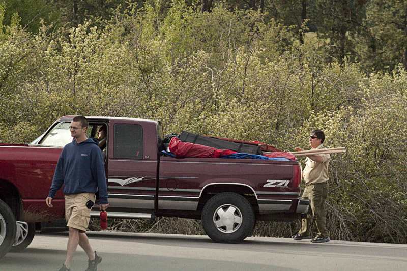
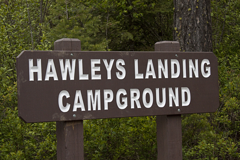
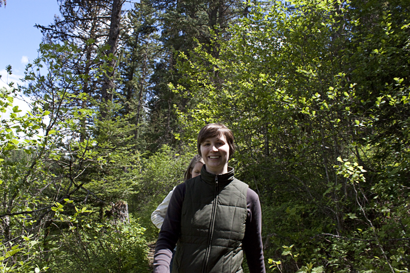
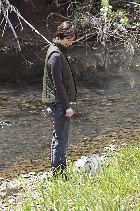
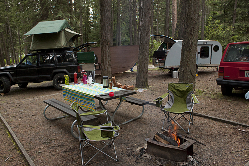
Recently, Nathan & Erin and the jPod crew left for a quick weekend of camping. For convenience sake, we chose Heyburn State Park in the lovely state of Idaho.
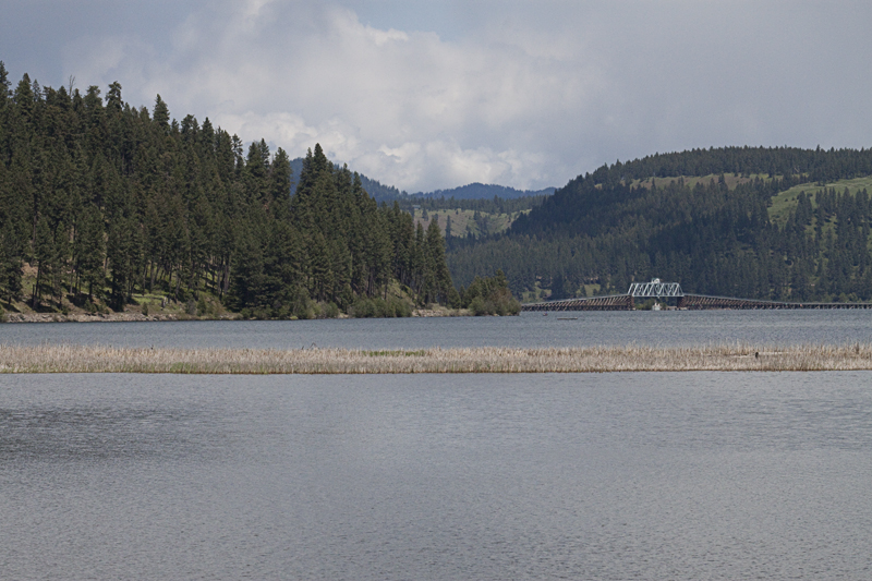
According to their website: “Heyburn State Park is the oldest park in the Pacific Northwest. Created in 1908, it is comprised of approximately 5,500 acres of land and 2,300 acres of water.”
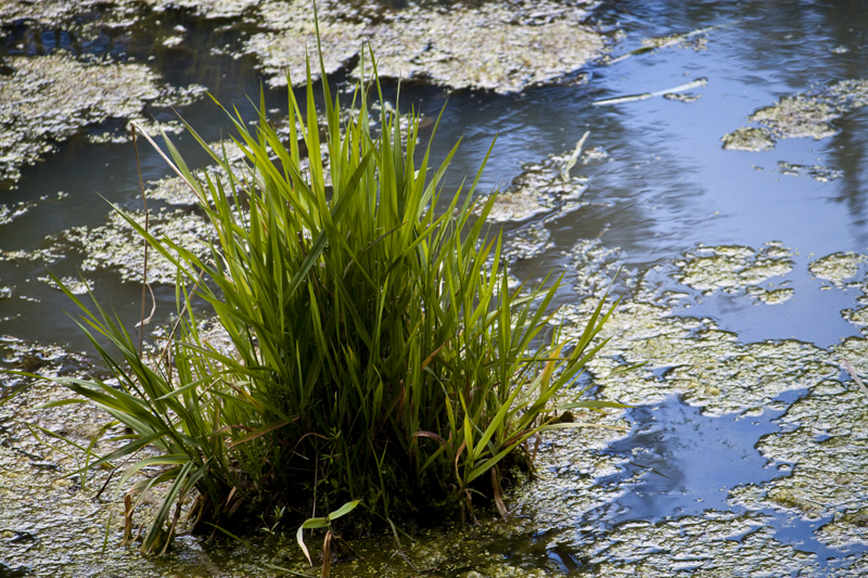
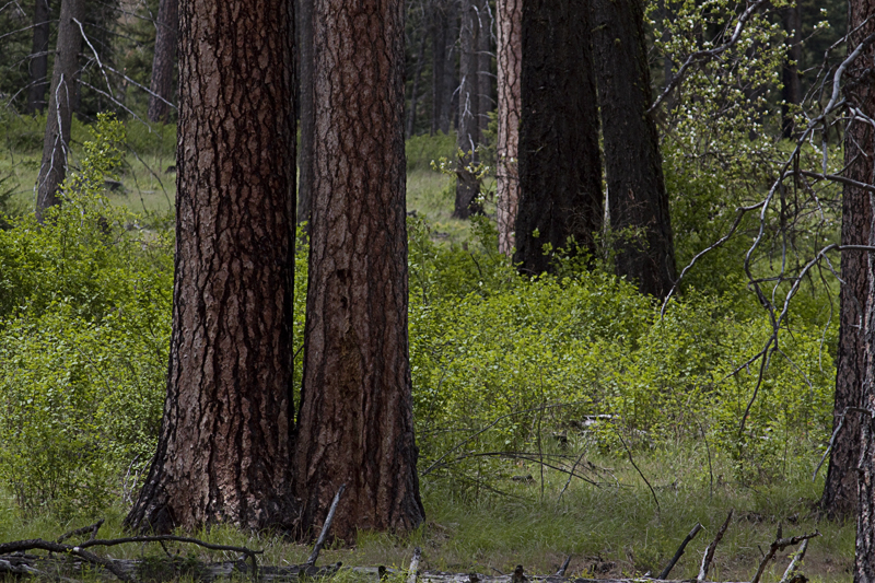
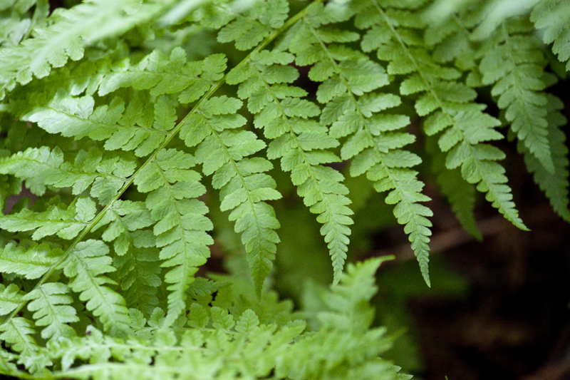
Heyburn was also a favored gathering place for the Coeur d’Alene Indian Tribe. It is a beautiful park that has great hiking, a wildlife marsh that has a boardwalk out into the middle of it, and all sorts of wildflowers & other plants. We didn’t experience this but they say, in the summer, they have mosquitoes which are larger and more numerous than a cloud of fruit-bats. Basically, it is what camping should be.
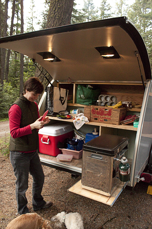
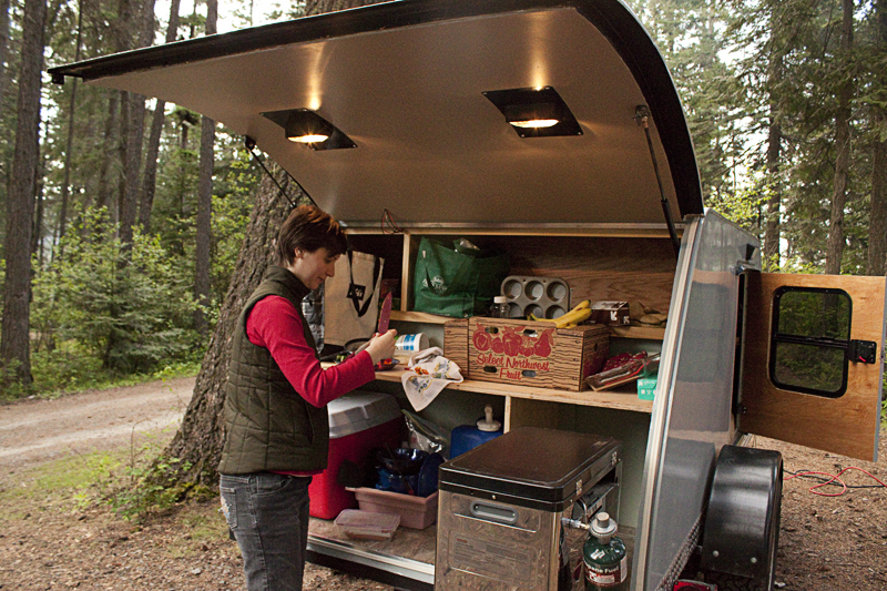
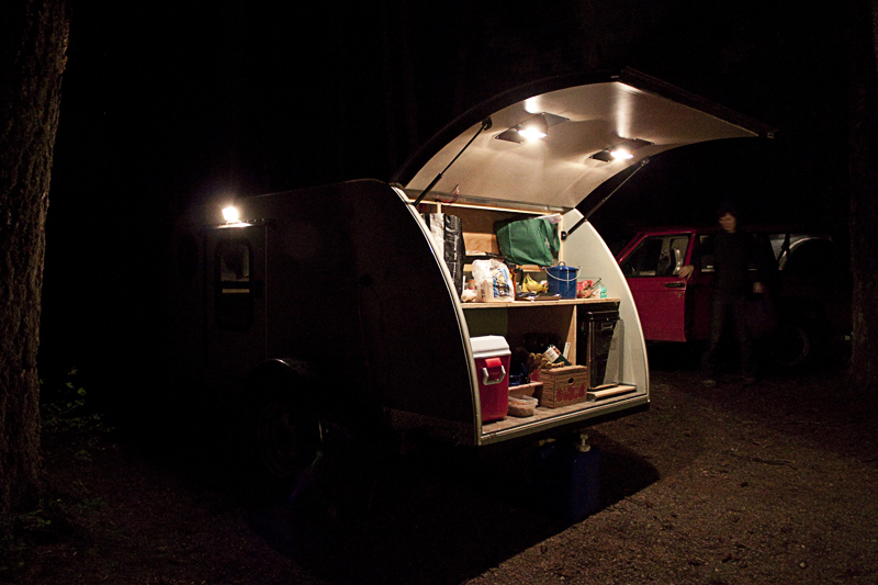
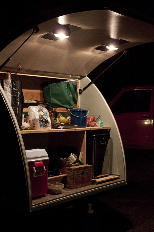
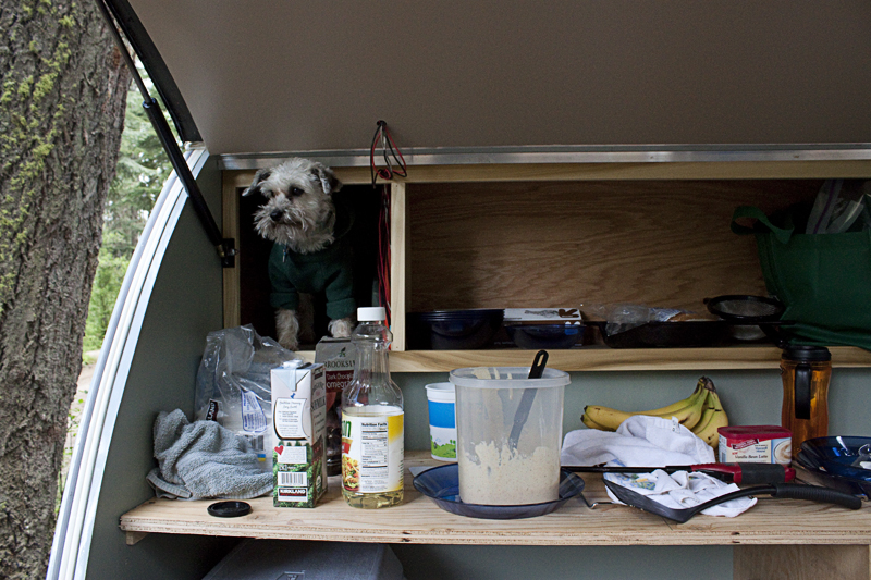
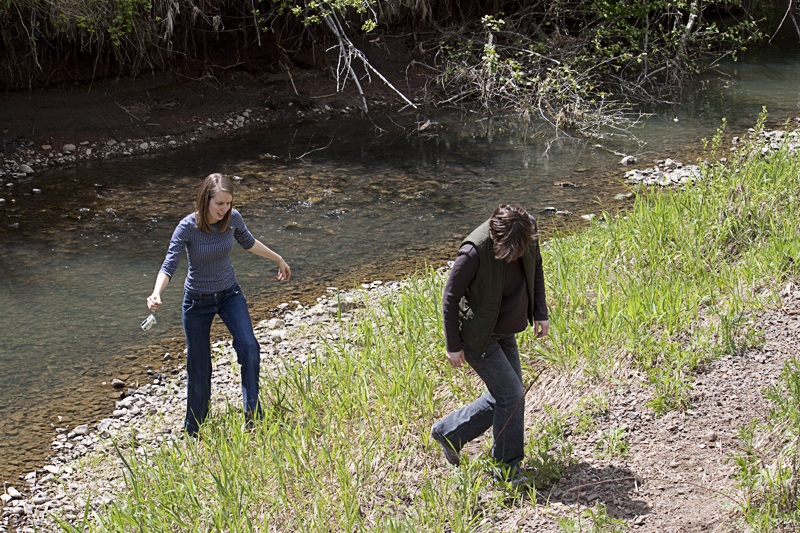
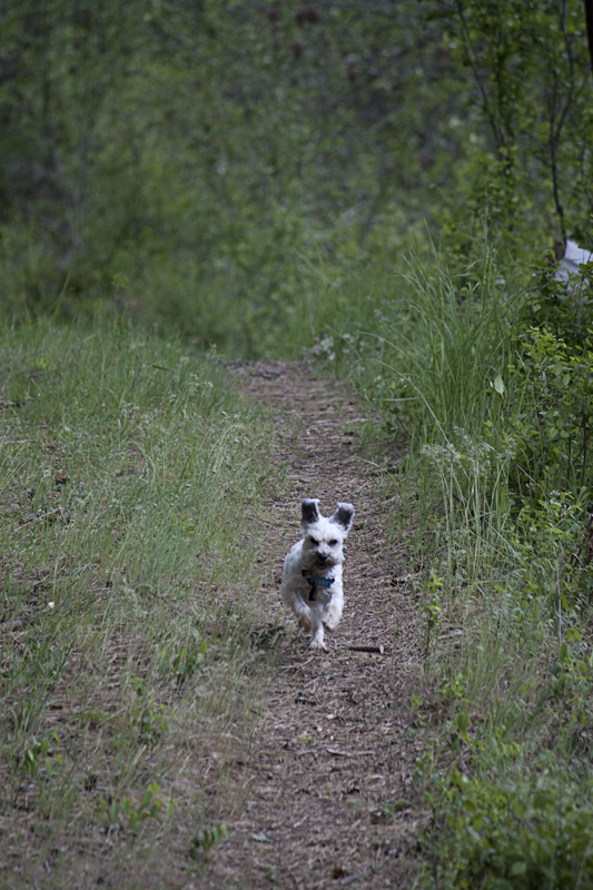
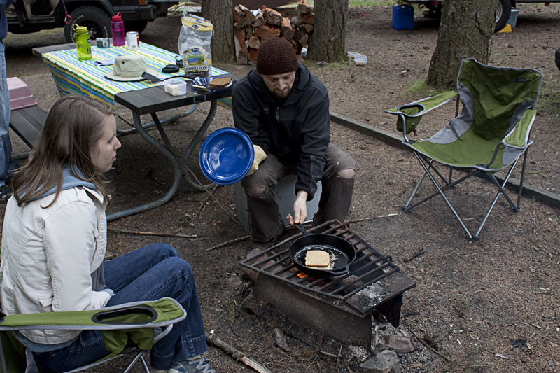
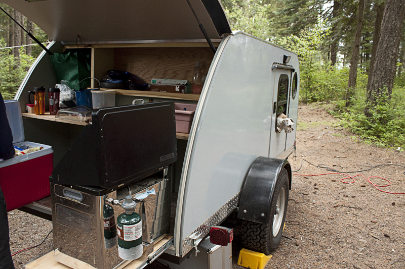
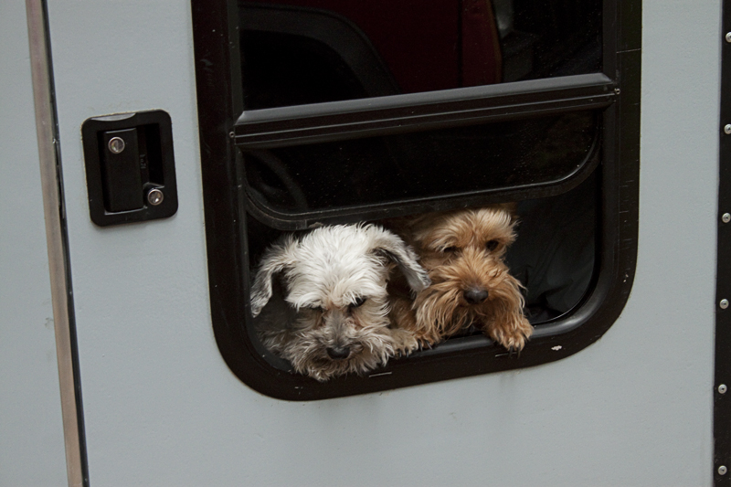
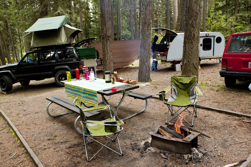
Senior Management and I were able to camp with power in the jPod for the first time. It was a novelty to crawl into bed and be able to see without a headlamp. Since the trailer is small & the windows are big, we realized that we need some curtains so that we are not displaying our dainties to the world like the prostitutes in Amsterdam. Senior Management is good at the color/design/sewing thing so the curtain improvement is up to her.
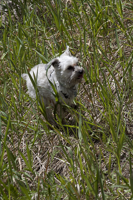
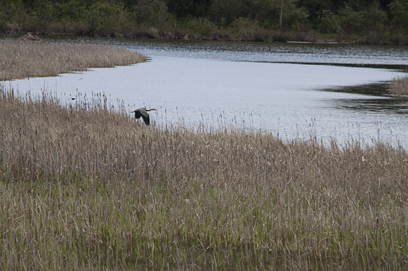
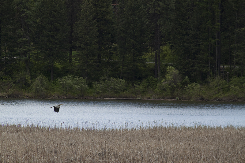
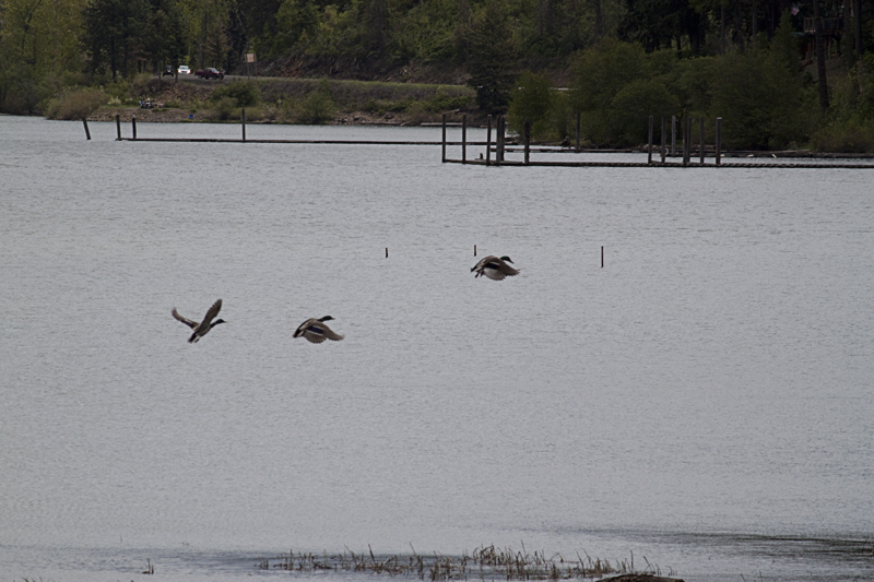
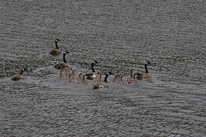
In the morning of our second day, we all decided to take a hike. It was a great hike. The cougar bait were running back and forth at our feet, and we saw lots of nature. Canadian geese floated on the lake, wildflowers were in bloom, and Great Blue Herons flew & honked across the sky. We went about 2.5 miles and then returned to camp because we saw some dark clouds in the sky & we were hungry.
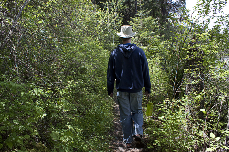
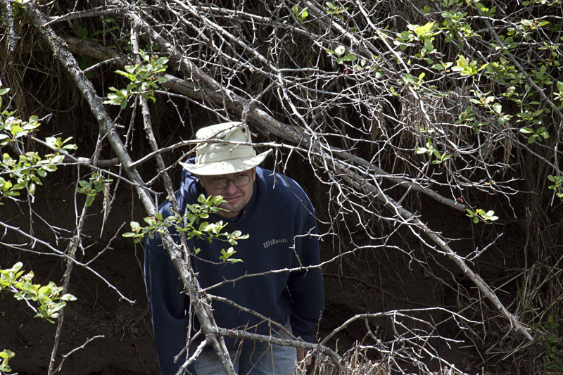
After lunch, the girls & the cougar bait decided to take a nap. Instead of napping, Nathan and I struck out like many other adventurous fearless men who have brazenly marched into the forest only to be disemboweled and mauled to death by bears. Oh, sorry, really… we went for a hike and we came out of the woods alive -although I am typing this post with my only remaining finger (for the humor impaired: That was a joke, I actually have two remaining fingers and a pinkie stub).
We carried a simple map from the ranger’s station with us. I mean simple because later we got lost with the help of that same map! Based off of that map, and the fact that we could see the nearest trail-head from where we were standing looking at said map, we chose to explore the horse trail.
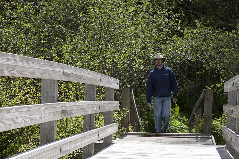
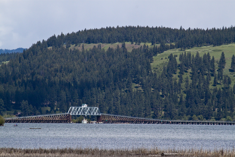
After walking uphill a ways, we came to some railroad tracks and then rapidly tried to get ourselves killed. Men are wired to think that machines are cool. This is because machines ARE cool and men easily recognize this. So, Nathan and I were distracted by the railroad & changed our hiking plans. We walked out on the truss bridge on some planks suspended over a yawning chasm of empty space. Heights don’t really bother me unless I’m not wearing a harness and tied into something. So, I was a little bothered by our adventure out onto the train bridge. I did notice though that if I were to fall, my fall would be cushioned by a busy 2 lane highway. That was comforting.
After some time discussing engineering, we decided to walk the tracks for a ways. The park map, showed the horse trail going in a loop. Based on simple geometry, we knew that if we followed the tracks we would intercept the trail again. Off we went. As we walked, we found a second set of tracks which paralleled the first. The rails were dated 1913, were smaller, and very historic looking. This is when Murphy’s law of camping photography applied itself to our situation.
Nathan and I were going on a hike, possibly in the rain, so I decided to leave my camera back at camp. Of course, doing this means that every cool photo-worthy site will be in its best form. This was true of our death march…I mean “hike”. As we walked along we found grease machines, a wrecked railroad car, a porcupine, and some old glass jar & porcelain tops which were batteries with “Thomas Edison 1912” stamped on their tops. It was about the time we found the batteries, that we decided to turn back.
We didn’t find the horse trail like we had conjectured -until we walked back and then realized we’d walked right past it (“stupid map!”). After getting home, I looked up the same railroad line on Google maps and have roughly determined that we walked about 8-9 miles on railroad ties (this is no exaggeration). This means that we both were walking like stub legged pirates for 8-9 miles because the railroad ties are either too close together or too far apart for normal human walking. This may also describe the debilitating soreness the next day.
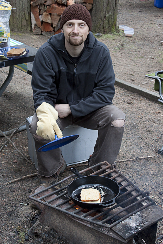
About 4.5 hours later, we finally staggered into camp to find the Senior Management & Erin making dinner. We ate, packed up the food, & started getting ready for bed -after Nathan made a fire so large that it could be seen from space.
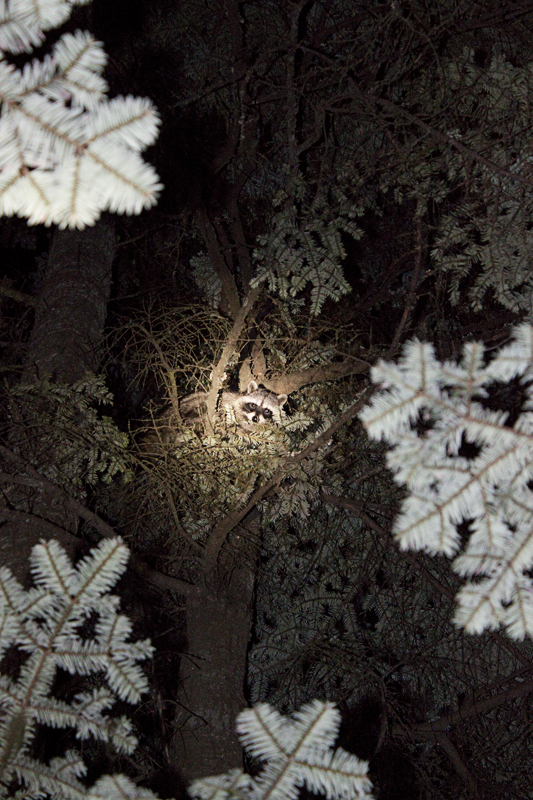
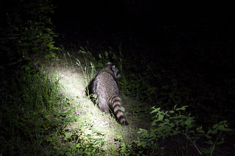
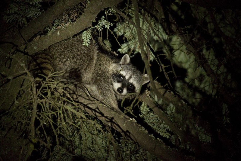
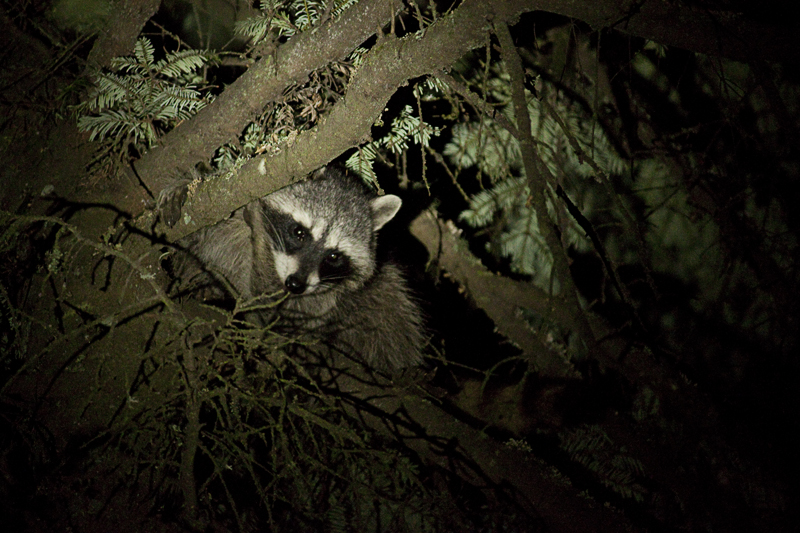
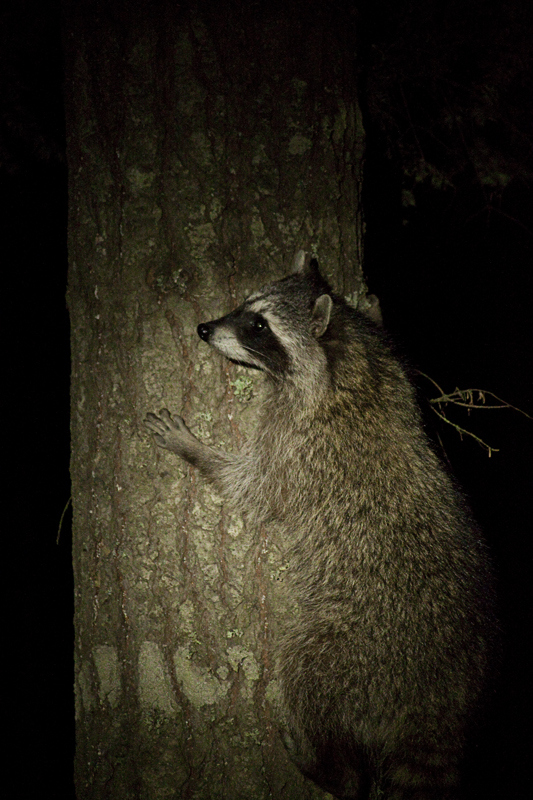
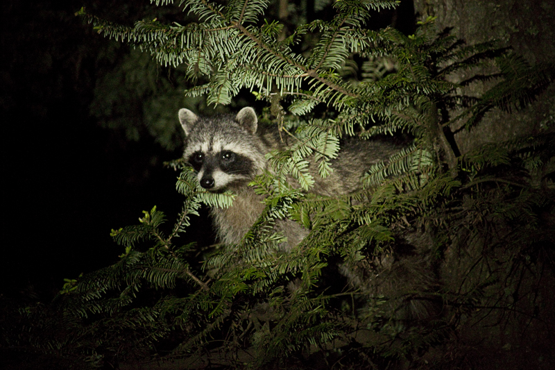
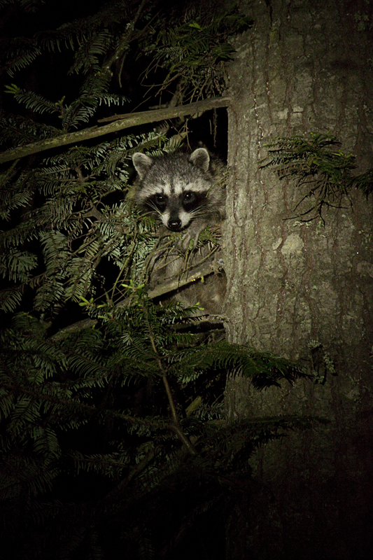
As I was putting things away for the evening, I noticed some movement & spotted two raccoons in the shadows. Like many other adventurous fearless men who have brazenly marched into the forest to find raccoons, Nathan and I did the exact same thing. We actually treed them and then, while Nathan kept them in the beam of a flashlight, I shot them (Like many other adventurous fearless men who have brazenly… bla bla bla) with a camera.
The next day, we packed up our things, refreshed & ready for another week in “civilization”. As we departed, I knew that someday I would return to this very spot. And on that day I would bring my camera. And on that day, it would end up raining & I would see nothing worth preserving in photo form. This is Murphy’s law of camping photography but it won’t stop me from returning…IF I can find that very spot on a simple map.
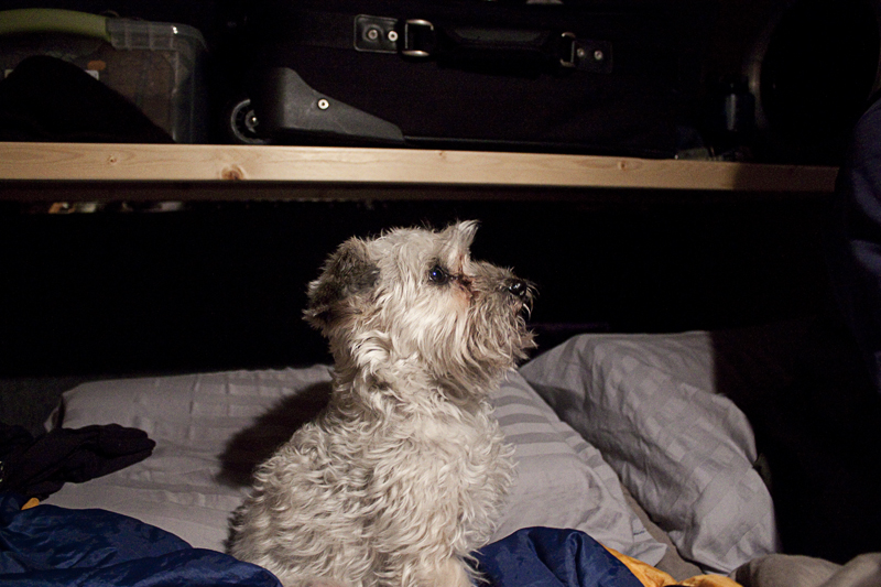
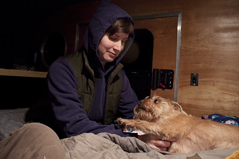
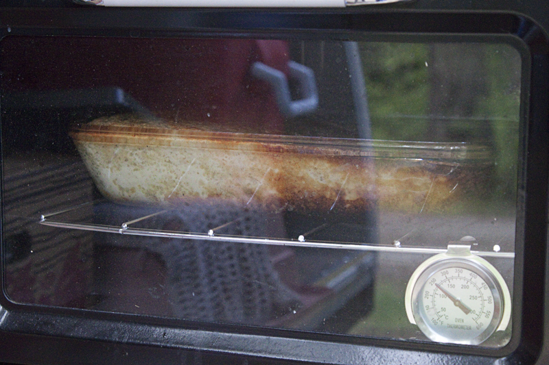
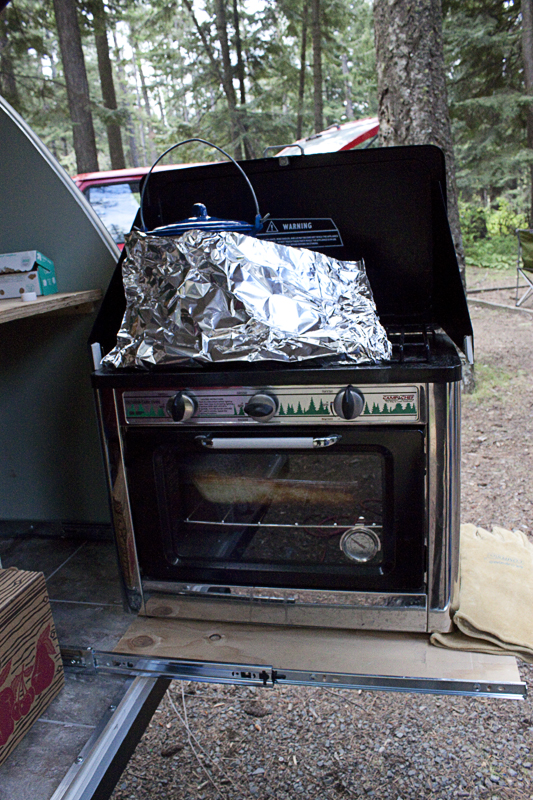
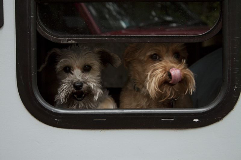
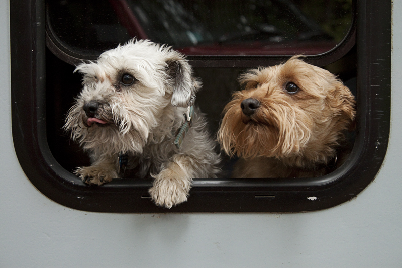
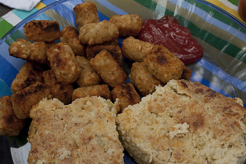
Here are some pictures of this adventure:


You take the most amazing pictures. I loved them all!